How to use the Sun Compass
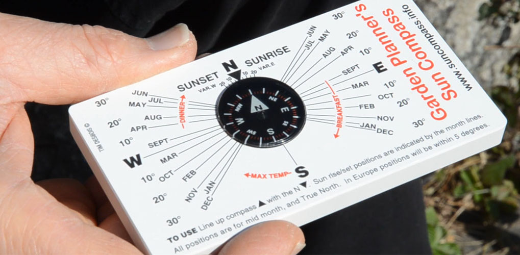
Finding sunrise and sunset directions
To determine the directions of sunrise and sunset throughout the year, we first need to align the compass. To do this we simply rotate the baseplate, keeping it horizontal, until the N arrow on the compass lines up with the N indicator on the baseplate.
Take care not to hold the compass near anything that will deflect the needle, such as ferrous metals or electronics that generate a magnetic field.
Take care not to hold the compass near anything that will deflect the needle, such as ferrous metals or electronics that generate a magnetic field.

Accounting for magnetic declination
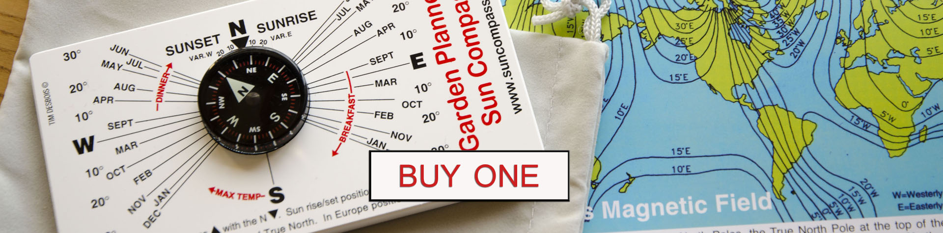
As outlined in the “Why the Sun's path varies" section, magnetic north is not located in the same place as true north. The lines on this diagram indicate the lines of equal magnetic declinations over the surface of the Earth. (these are called Isoganals).
For example most of Europe is currently around 5”W meaning the variation is 5 degrees west, so the declination (the angular difference between magnetic and true north) is quite small - hence, many users ignore it completely.
However look at the difference between the East and West coasts of the USA! If the angular difference is significant, we can account for it on the compass.
To very accurately compensate for magnetic declination, there is a small scale either side of the North indicator on the compass baseplate.

Having determined what the variation is in your location, line up the compass N arrow like this:

Then, taking for an exaggerated example, Vancouver in Canada, which has a variation of 20 degrees E (East). Rotate the baseplate until the compass arrow lines up with Var. E 20

The sunrise / sunset positions will now be accurately indicated by the month lines radiating from the centre.
Please note that the lines indicate the position in the middle of each month:
Please note that the lines indicate the position in the middle of each month:


These direction lines are accurate to within 3 degrees for all locations within the band of 45-55 degrees of latitude, such as:
- Europe - Paris, Amsterdam, Cologne, Brussels, Luxembourg, Dublin
- USA - Boston, Seattle, Portland, Minneapolis
- Canada - Vancouver, Quebec, Winnipeg, Montreal, Toronto, Calgary
To determine the Sun’s maximum height at noon
With the compass, locate the direction of south. Then, hold the baseplate vertically, keeping the longer edge horizontal to the ground as shown below. Using the angle indicator on the back of the compass, point the horizontal arrow at the bottom towards south.
Each of the angled lines points at the maximum height of the Sun in the sky at noon, in the middle of the months indicated (note – this is for latitudes 45-55 degrees only).
To find out where shadows will fall, simply move closer or further away from an obstacle. For the greatest accuracy, get as close to the ground as you can. You'll notice how much longer winter shadows will be compared to summer and how quickly this can change.

Using the Sun compass at other latitudes
To determine the Sun rise/set positions worldwide, use this table below. Please note: it’s also included on the instruction sheet that comes with your Sun Compass.
For example: New York mid-May reads as 25N. This means the Sun rises and sets 25 degrees North of East and West respectively.
For example: New York mid-May reads as 25N. This means the Sun rises and sets 25 degrees North of East and West respectively.

Having compensated for the variation, ignore the radiating star lines and use the 2 outer vertical scales shown in the picture below:

To determine the Sun’s maximum height worldwide, use the table of angles below: e.g. Los Angeles Mid Sept = 63 degrees

Ignore the month lines and compare the angle with the elevation scale.